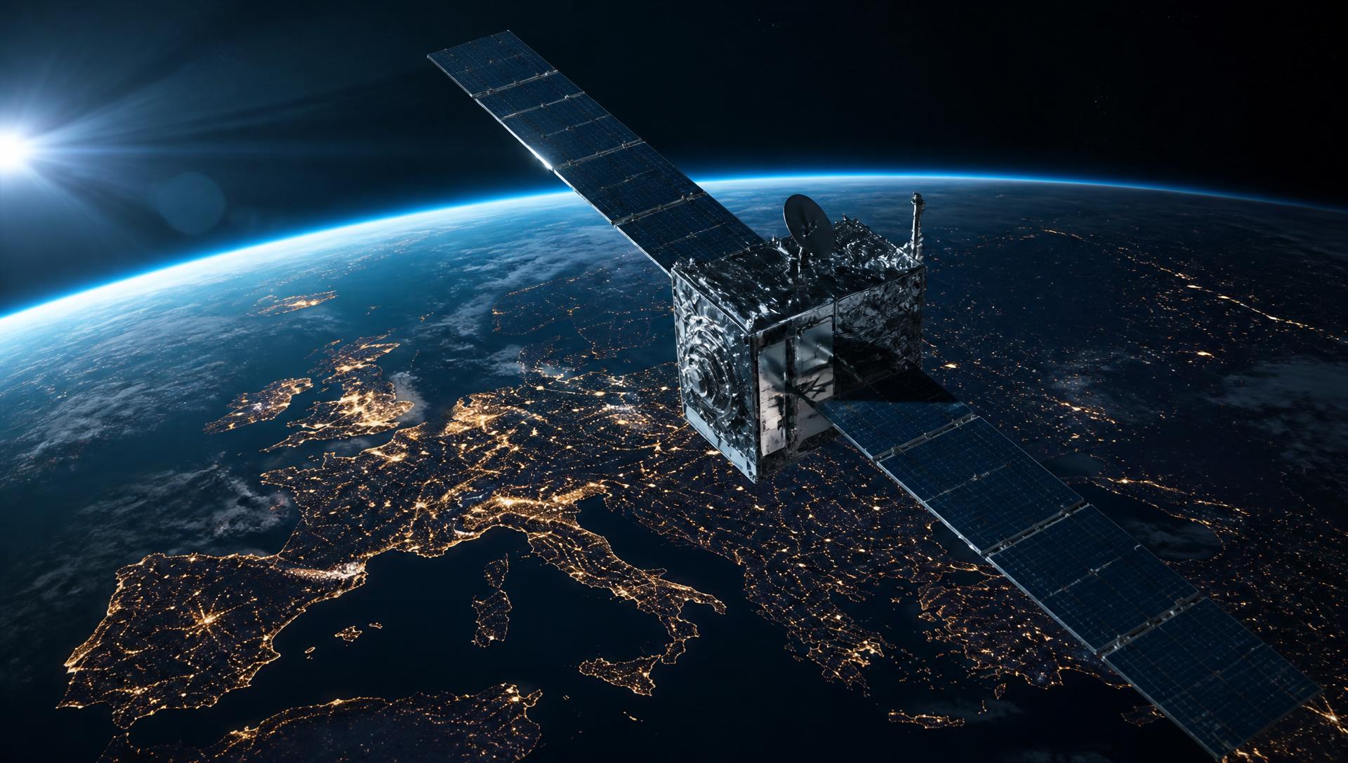
Earth observation satellite above Switzerland with radar coverage

Satellite & geospatial · Switzerland

Satellite and geospatial software for Swiss organisations

Earth observation, SAR analysis and geodata platforms: we turn satellite, sensor and map data into applications that teams use every day.

Our Earth observation and geodata services

From data pipeline through analysis to the map interface, on Swisstopo base data and open standards.

01 · SAR & InSAR

SAR analysis, change detection and InSAR

Radar satellite data delivers results regardless of clouds and daylight. We build pipelines for change detection, ground motion (InSAR), flood and damage analysis.

  • Sentinel-1 and commercial SAR sources in one pipeline
  • Automatic comparison of reference and current acquisition
  • InSAR time series for landslides, subsidence and infrastructure
  • Export as GeoTIFF, GeoJSON and PDF report

What it delivers

Continuous monitoring of large areas instead of occasional site visits.

Start a project
02 · Geodata

Geodata platforms and web GIS

Swisstopo maps, your own data, sensor readings and operational systems in a fast map portal — usable without desktop GIS or specialist licences.

  • WMS, WMTS, PostGIS and vector tiles in one interface
  • Timeline, filters, measurement and drawing tools
  • Public map portals and protected internal areas
  • Roles, groups and single sign-on

What it delivers

One shared map basis for operations, engineering and management.

Start a project
03 · Monitoring

Automated monitoring and alerts

Defined areas are analysed on a regular cycle; when thresholds are exceeded the system notifies the responsible teams automatically.

  • Recurring analysis per area and cycle
  • Alerts by email, webhook or interface
  • Historical evidence for authorities and insurers
  • Dashboards for natural hazards, construction sites and infrastructure

What it delivers

Early knowledge of relevant change, with a documented history.

Start a project
04 · Platform

Data pipelines and operation

Acquisition, preprocessing, storage, cataloguing and delivery of large geodata volumes — scalable and reproducible.

  • Automated scene acquisition and preprocessing
  • Catalogue and metadata for reproducible analysis
  • Tile server and APIs for fast rendering
  • Operated in Switzerland with monitoring and backups

What it delivers

A dependable basis instead of one-off analyses on desktop machines.

Start a project

How we work

  • Swisstopo base data and open geospatial standards
  • Data hosted in Switzerland
  • Exports for authorities, insurers and owners
  • Projects for municipalities, cantons, industry and infrastructure

Frequently asked questions about satellite and geodata

Which satellite data do you use?

Open sources such as Sentinel-1 and Sentinel-2 as well as commercial providers, depending on the resolution and revisit rate needed.

Does it work under cloud cover?

Yes. Radar (SAR) data is independent of clouds, weather and daylight.

Can existing GIS data be reused?

Yes. We import shapefiles, GeoPackages, PostGIS databases and connected services.

Discuss your geospatial initiative

Describe your area of interest and question — we propose data sources, analysis and effort.

Describe your project